Hiking Table Mountain with Views of Mount Baker and Mount Shuksan
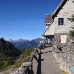
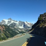
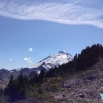
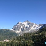
A drive up the Mount Baker Highway is filled with incredible views all year. In the summer time after the snow has melted visitors flock to Artist Point, the end of the highway and beginning of many scenic walks and hikes. For many visitors Artist Point offers enough views to satisfy them – from their cars on the drive they have seen the Heather Meadows recreation area (perfect picnic stop), the Mount Baker Ski Area, Mt. Shuksan, and Mt. Baker. If you want to sample some hiking with more views but want to take it a little easy the Artist Point Trail will suit your needs perfectly. Remember that you can stay near the mountains too. There are a number of accommodations near Mount Baker as well as places to eat along the Mount Baker Highway.
For those desiring more adventure and more than just a stretch of their legs, the Table Mountain trail offers a perfect solution. Table Mountain is more advanced than the Artist Point Trail – but you will see some spectacular views if you are up to the challenge.
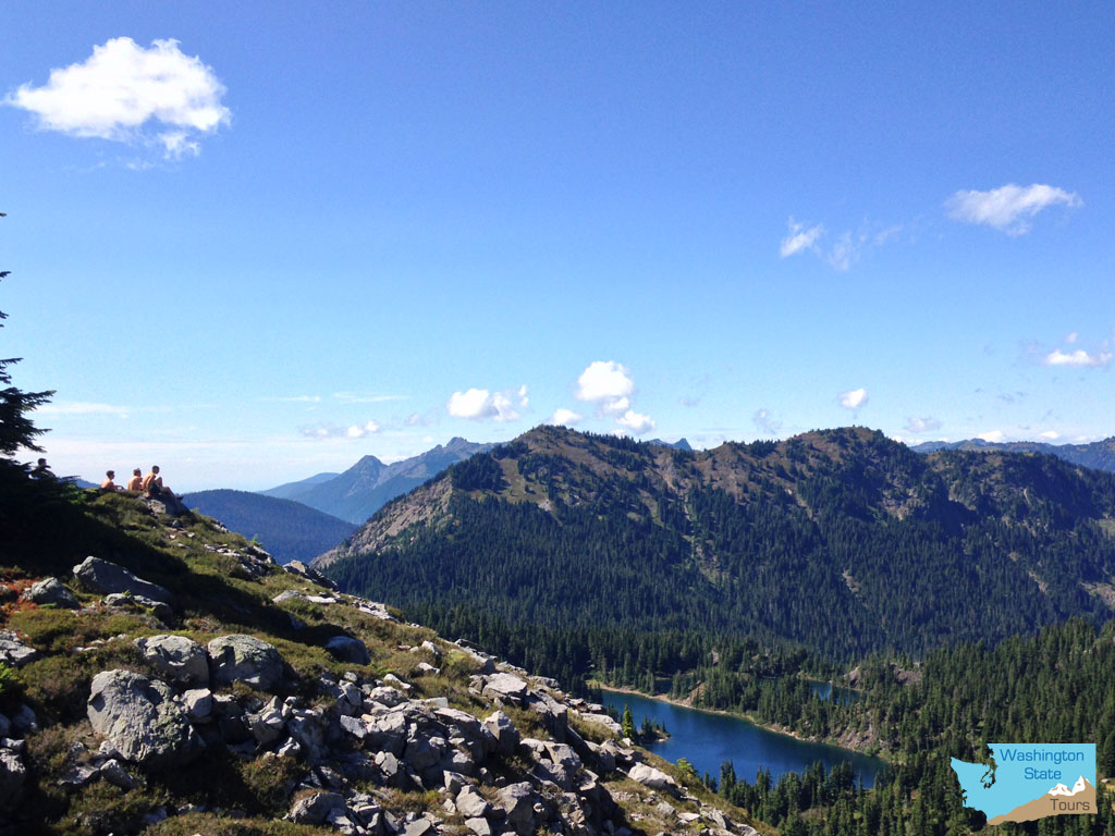
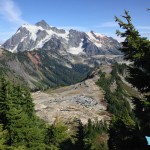
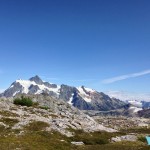
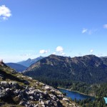
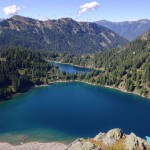
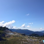
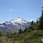
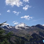
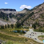
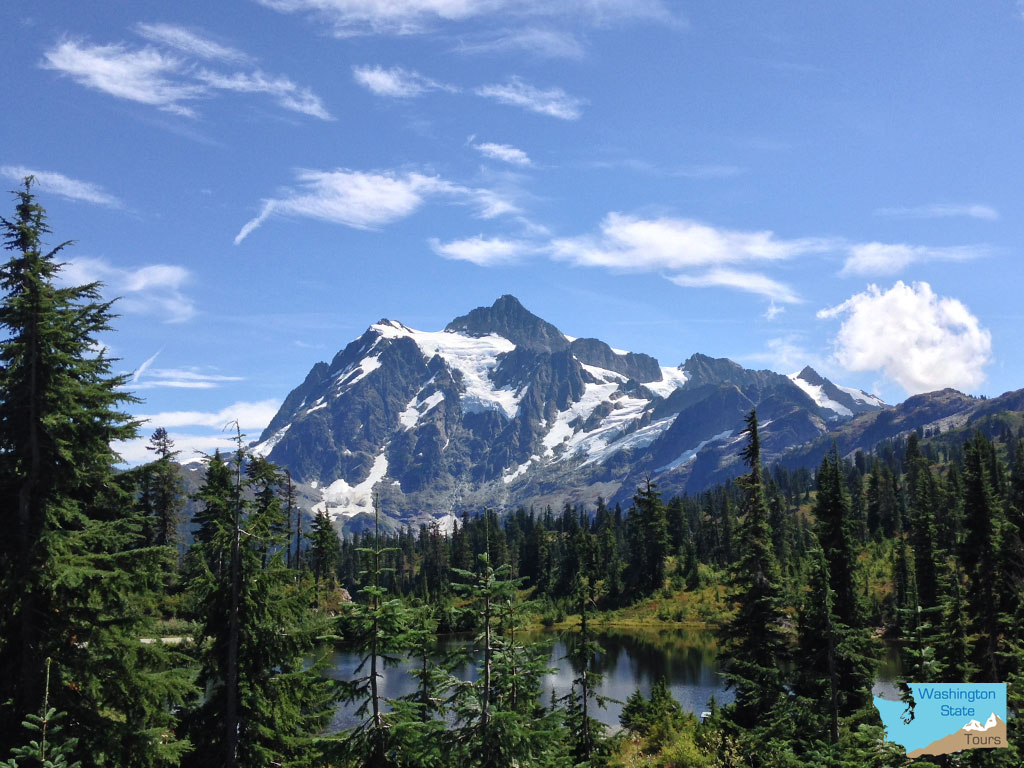
From the top you’ll see both Mt. Baker and Mt. Shuksan, but you’ll also be able to sneak to the edge for horizon stretching views that include Iceberg Lake and the Galena Chain Lakes trail directly below.
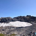
While the top of Table Mountain looks easy initially, the route can require light scrambling if there are still snowbanks that haven’t melted. PLEASE USE CAUTION. If you don’t feel comfortable at any point turn back.
You get to Table Mountain by driving up the Mount Baker Highway (Washington State Highway 542) to the Mount Baker Ski Area. Then take a right where you see the large map of Mt. Baker and continue 2.6 miles to the parking lot at Artist Point located on Kulshan Ridge. This is the end of the highway and you are now at 5,100 feet of elevation. This is a National Recreation fee area so make sure you fill out the envelope and deposit your cash ($5 in 2015).
A side note: sometimes the road to Artist Point opens in Late August and sometimes sooner. It all depends on how deep the snow is in the winter and how soon they are able to open the highway to the top.
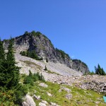
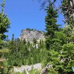
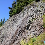
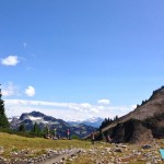
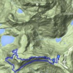
The trail to Table Mountain begins at the southwest side of the parking lot. You’ll have a choice of intermediate trails but for this adventure you want to take the one on the right. You start to ascend the lava cliffs of Table Mountain right away. At the top you’ll want to sample the view of Shuksan from the southeast edge. Then hike over to the northeast edge. From here you can look down to Iceberg Lake and the valley that contains Bagley Lakes.
About 20 minutes further to the north you will find a large band of rock. Looking down you’ll see a snowfield about 20 to 30 feet below. If you want to attempt the decent, then head to the right to find a stair step of rocks (if these are buried in snow then we don’t recommend the attempt.)
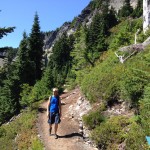
From the top you’ll see a couple of trails below. When you get down to this lower level you’ll follow the right hand fork in the trail for about 10 minutes. You’ll find an sheer edge to the cliffs. Looking down you will see the Galena Chain Lakes trail several hundred feet below. It’s a great view – just don’t go over the edge.
The original Table Mountain loop trail included a snowfield that was considered too dangerous. Now you return on the trail that you took to the top. Old Trail – If you take the left fork you’ll decent to the Galena Chain Lakes trail. This part of the trail will require you to do some scrambling and is no longer marked. From there take a left to the Ptarmigan Ridge trail and make your way back to the parking lot in 1.2 miles.
